

We are building the technologies that extend human awareness into environments where access is limited, risk is elevated, and information is scarce. Through advances in autonomous systems, robotic platforms, distributed sensor networks, resilient communications, and intelligent data processing, we are expanding the boundaries of what is possible in geospatial intelligence.
Our research focuses on overcoming the logistical, environmental, and technical barriers that have traditionally constrained data acquisition across remote, frontier, and strategically important regions. From the subsurface to the atmosphere, from terrestrial landscapes to marine and inland waters, we develop integrated systems capable of operating where conventional approaches become impractical, inefficient, or impossible.
By combining advanced sensing technologies with autonomous operations and robust communications architectures, we enable the collection of high-fidelity spatial data in environments defined by distance, complexity, and uncertainty. The result is trusted intelligence that enhances situational awareness, supports informed decision-making, and delivers operational advantages across a wide range of applications.
Whether supporting resource development, environmental stewardship, infrastructure management, scientific discovery, public safety, sovereignty, or national security, our goal remains the same: to provide the information needed to understand, manage, and operate within the world's most challenging environments.
As demand grows for accurate, timely, and actionable intelligence, we are helping define the next generation of geospatial technologies, extending the reach of human capability into the world's newest frontiers.
Canada's future depends on maintaining the technological capabilities required to understand, manage, and secure one of the world's largest, most challenging, and most resource-rich geographic domains. We are proud to develop autonomous systems, robotics, sensing technologies, and geospatial intelligence platforms in Canada, contributing to domestic innovation, sovereign capability, responsible land and resource management, critical infrastructure resilience and management, and the development of next-generation technologies required to operate across the North and beyond.
When missions demand broad-area coverage, advanced sensing capabilities, and dependable operation in harsh geographic and meteorological conditions, purpose-built systems become essential.
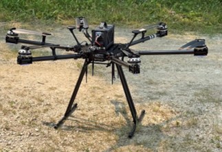
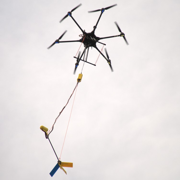
Our in-house UAV development program delivers aircraft optimized for the realities of remote data acquisition rather than the limitations of commercial platforms.
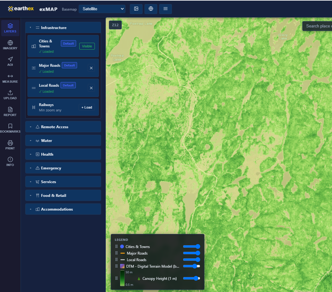
The growing scale and complexity of modern geospatial operations demand software that extends beyond the capabilities of conventional tools. We develop custom intelligence platforms that integrate mission planning, sensor networks, autonomous vehicle management, swarm navigation, mesh network communications control, data management, and automated analytics into a unified operational ecosystem, enabling more efficient operations and transforming complex spatial datasets into timely, actionable insights.
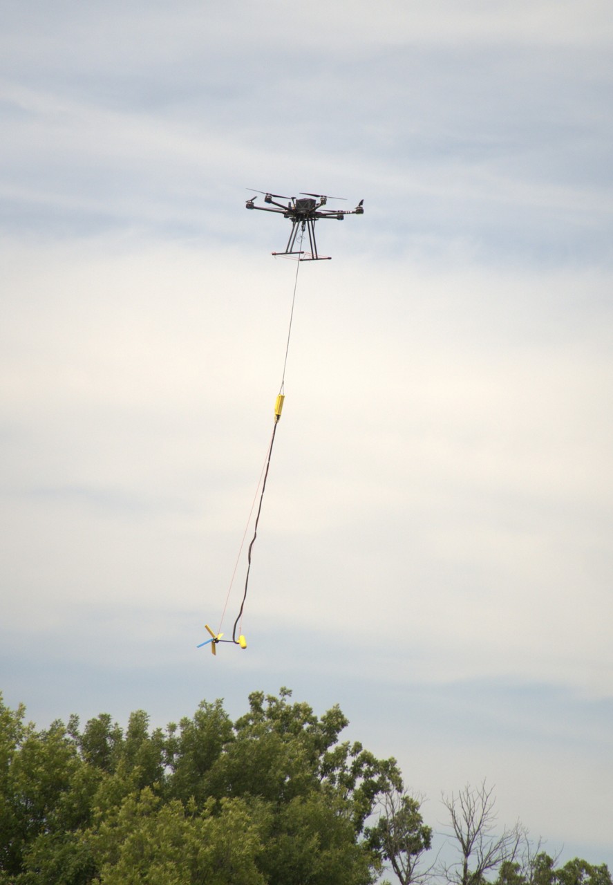
Our engineering efforts extend beyond platforms and software to the development of mission-specific sensing and robotic systems. From custom sensor integrations and precision data acquisition hardware to purpose-built robotic solutions designed for unique operational requirements, we create technologies that enable new methods of measurement, automation, and environmental interaction in complex and demanding environments.


.png)


.png)
.webp)
.png)
.png)
.png)
.png)